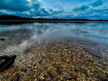
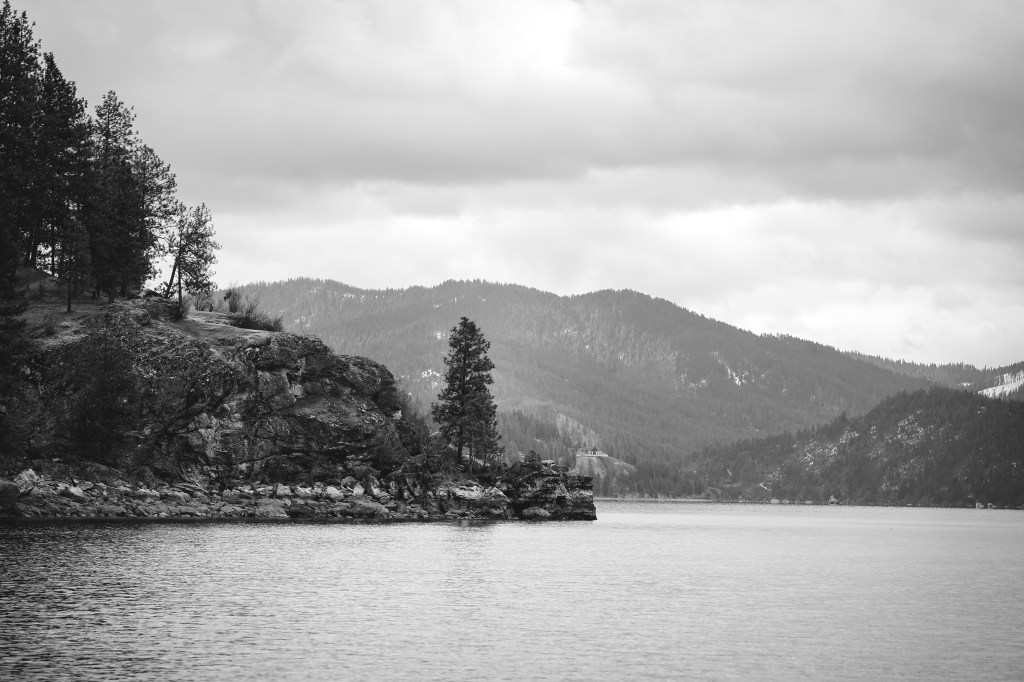
COEUR D’ALENE, Idaho — Nestled in the northern panhandle of Idaho, Lake Coeur d’Alene stretches across 25 miles, offering a haven for nature lovers, anglers, and adventure seekers alike. This glacially-formed lake, spanning 49 square miles with depths reaching up to 220 feet, has a rich history and a vibrant ecosystem, making it a year-round destination for tourists.
The lake’s name originates from the Coeur d’Alene Native American tribe, who have lived in the region for centuries. European fur traders in the early 19th century dubbed the tribe “Coeur d’Alene,” meaning “heart of an awl,” in reference to their shrewd trading practices. The city of Coeur d’Alene, founded in 1878, grew rapidly with the arrival of the Northern Pacific Railroad and the mining boom of the late 19th and early 20th centuries. Silver, lead, and zinc were extracted from nearby mountains, contributing to the area’s economic development.
In the early 20th century, timber also played a significant role in the region’s economy, with large logging operations taking place around the lake. The historic steamboats that once transported timber and ore now serve as a reminder of the area’s industrious past. Today, Coeur d’Alene has transformed into a vibrant city with a population of approximately 55,000, experiencing steady growth due to its scenic beauty and quality of life.
Anglers are drawn to Lake Coeur d’Alene for its diverse fish population. The lake is home to species such as Chinook salmon, rainbow trout, largemouth and smallmouth bass, northern pike, crappie, and kokanee salmon. The variety of fish ensures that whether you are a seasoned angler or a beginner, there is always a catch waiting. The lake hosts several fishing tournaments throughout the year, including the annual Big One Chinook Derby, attracting anglers from all over the country.
Warmer months invite people who enjoy boating, swimming, and kayaking. The lake’s clear waters and scenic surroundings are also perfect for paddleboarding and jet-skiing. The Coeur d’Alene Resort offers boat rentals and lake tours, providing stunning views of the area. Scenic cruises are available, offering a relaxing way to explore the lake while enjoying commentary on the region’s history and wildlife.
The Fourth of July fireworks show over the lake is another summer highlight, always drawing a large crowd.
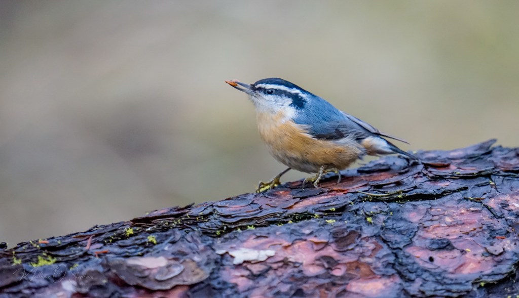
As the leaves turn for the approach of Autumn, hiking and biking trails around the lake become a tapestry of Fall colors. These trails offer panoramic vistas of the lake and surrounding forests, making them popular among photographers and nature enthusiasts. Fall is also an excellent time for birdwatching, as migratory birds make their way through the region.


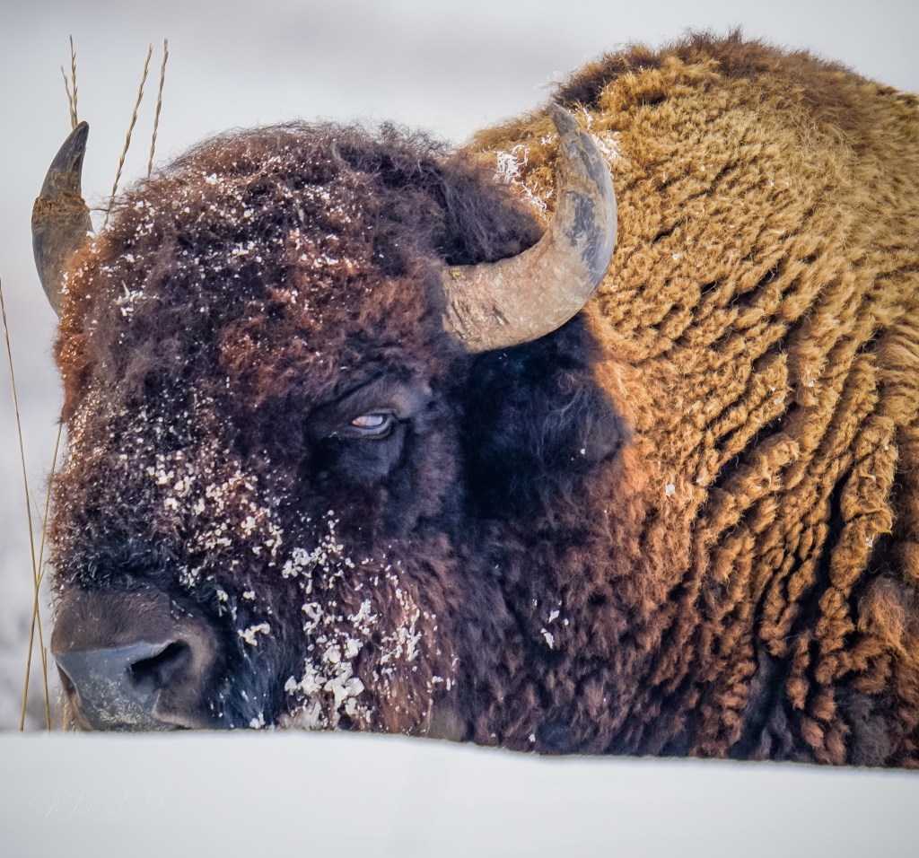
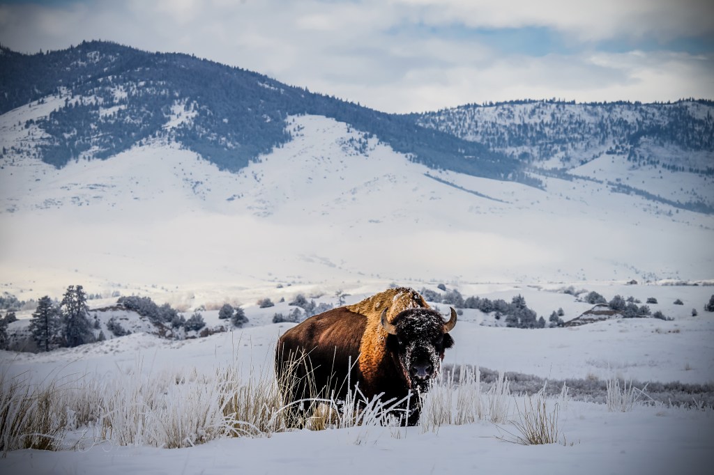
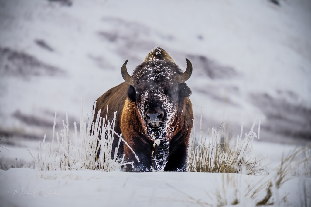
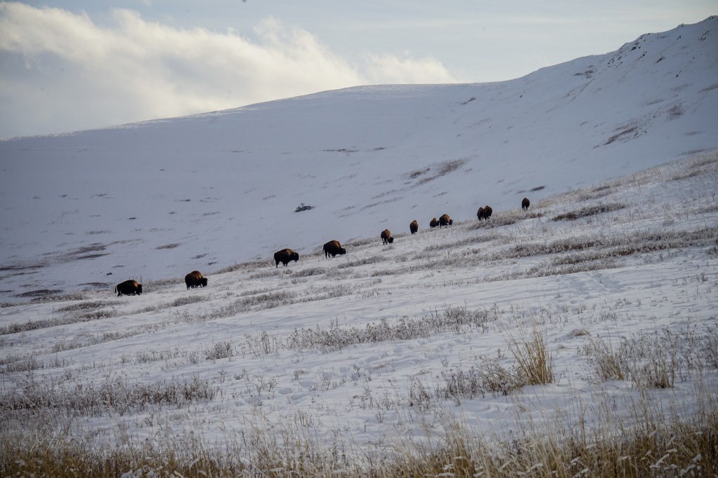
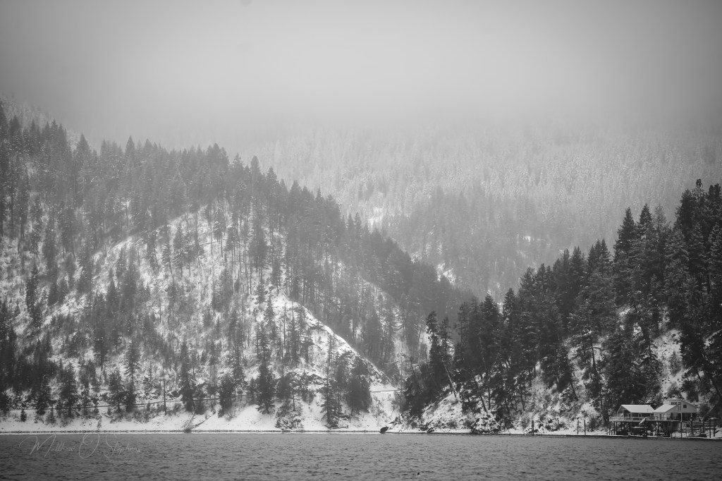
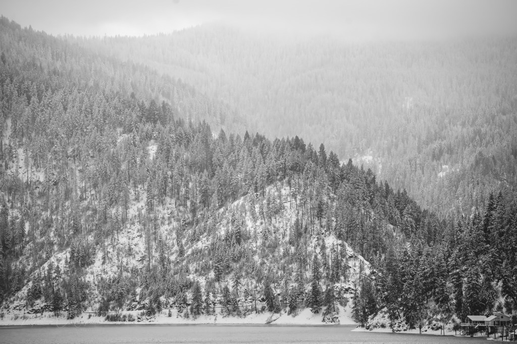
Winter transforms Lake Coeur d’Alene into a serene wonderland. Winter sports enthusiasts can enjoy snowshoeing and cross-country skiing on trails around the lake, while nearby ski resorts offer downhill skiing and snowboarding.
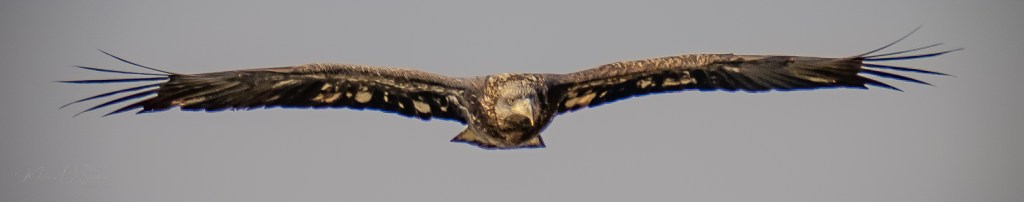
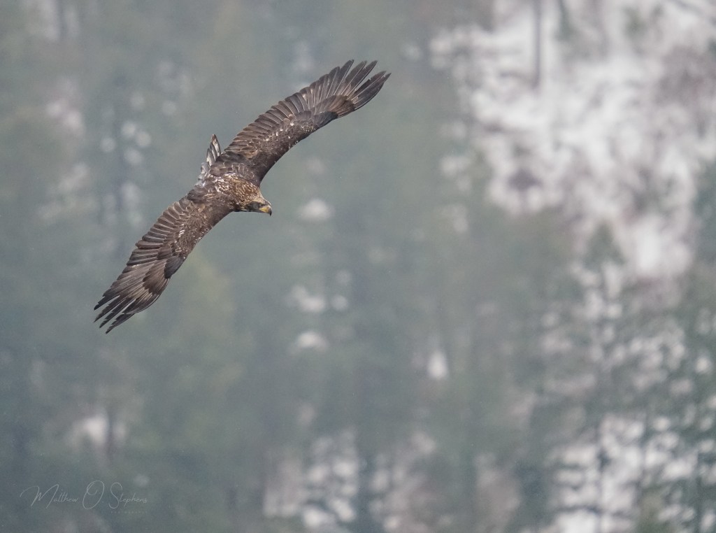
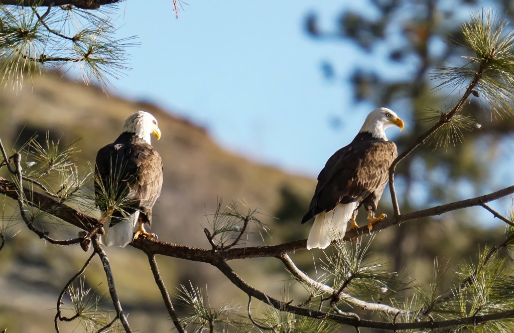
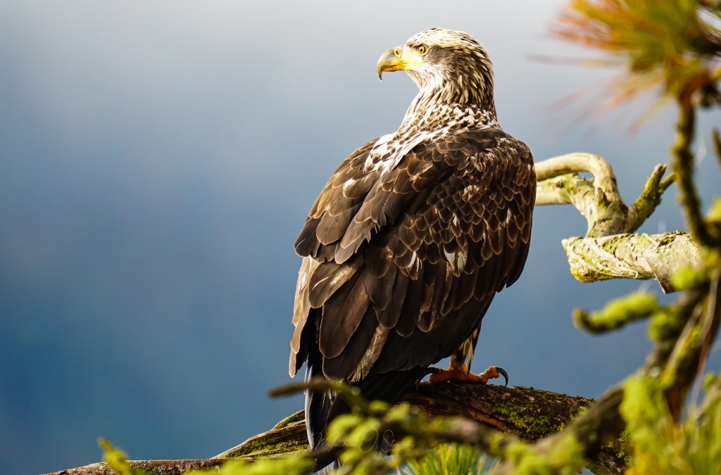
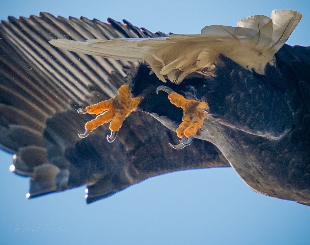
In terms of natural beauty, Lake Coeur d’Alene is hard to beat. Wolf Lodge Bay is one area known for its wintering bald eagles, this bay is a prime spot for wildlife photography and birdwatching. Each year, hundreds of eagles can be seen soaring above the bay and diving for fish, providing an unforgettable experience for visitors. From November to February, these majestic birds flock to the lake to feast on spawning kokanee salmon, creating a spectacular wildlife viewing opportunity. The area is equipped with viewing stations and information panels to enhance the experience.
The Mineral Ridge hiking trail offers a moderate climb with rewarding views of the lake, especially beautiful during the fall. The 3.3-mile loop trail features interpretive signs that provide information on the local flora and fauna, as well as the history of the area. The trailhead is easily accessible, with parking and picnic facilities available.
True to its name, Beauty Bay is a tranquil spot perfect for picnicking, kayaking and enjoying the natural beauty of the region. The bay offers a quiet escape from the busier parts of the lake, with calm waters ideal for paddleboarding and swimming. Several campgrounds in the area provide a rustic, yet comfortable, overnight experience.
Located at the eastern end of Lake Coeur d’Alene, Higgens Point is a popular spot for fishing, picnicking, and eagle watching. The area offers a boat launch, making it a convenient starting point for lake exploration. Higgens Point is also part of the North Idaho Centennial Trail, a 24-mile paved path perfect for biking and walking.


There are also a lot of local attractions people can enjoy while in the area. A centerpiece of the area, the resort is famous for its floating green golf course, luxurious spa, and fine dining. The resort’s marina provides various watercraft for rental, making it easy to explore the lake. The resort also features the world’s longest floating boardwalk, offering stunning views of the lake and surrounding mountains.
The downtown area is bustling with quaint shops, art galleries, and restaurants. Hudson’s Hamburgers, a local institution since 1907, is a must-visit for a classic American burger. Just down the road, Schmidty’s Burgers is another eatery deeply engrained in the community. The downtown area also hosts a variety of events throughout the year, including the popular ArtWalk, which showcases local artists’ work in galleries and businesses.
The Art Spirit Gallery features contemporary works by local and regional artists, offering a diverse range of paintings, sculptures, and ceramics. It is a cultural hub in the downtown area, hosting exhibitions and events throughout the year.
Also in the downtown area, McEuen Park offers a large playground, a splash pad, and walking paths. The park’s waterfront location provides beautiful views of the lake and easy access to Tubbs Hill.
Adjacent to downtown, Tubbs Hill offers hiking trails with beautiful lake views, picnic spots, and secluded beaches perfect for a summer swim. The two – mile loop trail around the hill provides easy access to the natural beauty of the area, with interpretive signs highlighting the local ecology and geology.


Just a short drive from the lake, Silverwood is the largest theme park in the Northwest, offering rides and attractions for all ages. The park features roller coasters, water slides, and live entertainment, making it a perfect family destination.
Lake Coeur d’Alene is not just a body of water; it’s a year-round destination that promises adventure, relaxation, and breathtaking natural beauty. Whether you’re casting a line, hiking a trail, or simply soaking in the scenery, this Idaho gem has something for everyone. With its rich history, diverse recreational opportunities, and vibrant local culture, Lake Coeur d’Alene continues to captivate visitors and locals alike.